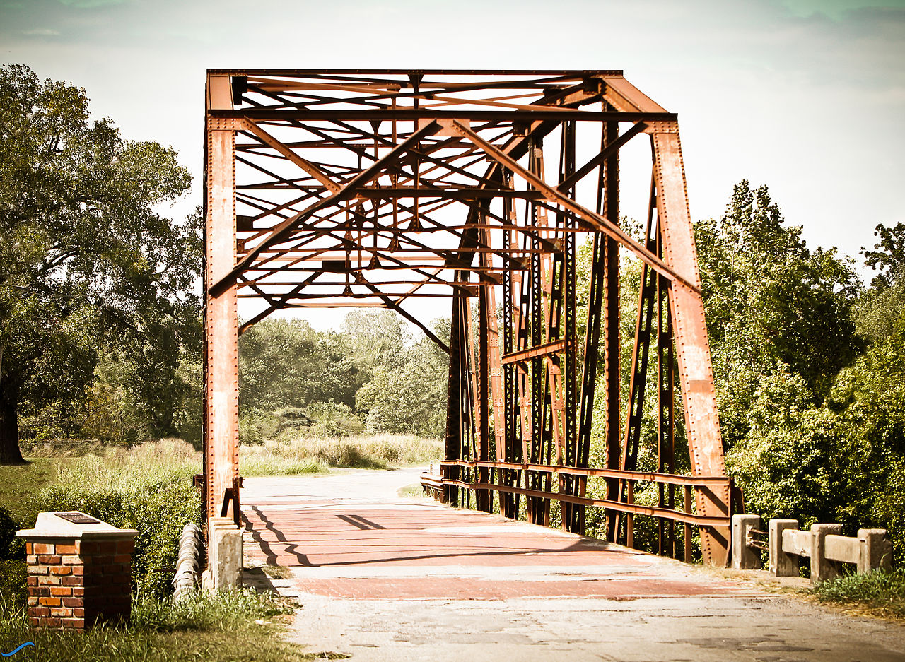
West Sapulpa Route 66 Roadbed, Oklahoma
- Route 66 site
- In Sapulpa, Oklahoma
- 0.1 mi from Route 66
- National Register of Historic Places
The West Sapulpa Route 66 Roadbed is a section of the old highway's road surface in Sapulpa, OK, listed on the National Register of Historic Places. It follows West Ozark Trail on the town's west side, beside the Bridge No. 18 at Rock Creek. For travelers who like the older pieces of the route, this is a place where the road itself is the attraction.
What is West Sapulpa Route 66 Roadbed?
This is a roadbed, the surface of an old Route 66 alignment, and the listing marks it as historic in its own right. The highway's path shifted over the decades, so it lies about 4 miles from the main line most maps draw.
Visiting West Sapulpa Route 66 Roadbed: tips
Pair it with the Bridge No. 18 at Rock Creek at the same spot for a 20-minute photo stop. Drive slowly and pull fully off the road before stepping out. Fuel is about 0.4 mile away, and the Route 66 Historical Village about 10 miles.
Practical info
- Address
- West Ozark Trail, 74066
- On site & nearby
Sources: OpenStreetMap contributors (ODbL) · Wikidata · official site — may be outdated. Suggest a fix
Where to eat near West Sapulpa Route 66 Roadbed
All diners on Route 66 →
On the map
Full mapWest Sapulpa Route 66 Roadbed with the 6 closest stops and a place to eat (fork and knife). Tap a marker for details.
Tap a dot to see that stop here.
Stops near West Sapulpa Route 66 Roadbed
All of Oklahoma
0.0 mi from West Sapulpa Route 66 Roadbed

0.4 mi from West Sapulpa Route 66 Roadbed

10.4 mi from West Sapulpa Route 66 Roadbed

12.3 mi from West Sapulpa Route 66 Roadbed

12.9 mi from West Sapulpa Route 66 Roadbed

13.2 mi from West Sapulpa Route 66 Roadbed
Own or run West Sapulpa Route 66 Roadbed? Send us a photo or a correction.