
Chain of Rocks Bridge
- Historic bridge
- In St. Louis, Missouri
- 0.3 mi from Route 66
- National Register of Historic Places
At the northern edge of St. Louis, MO, the Chain of Rocks Bridge reaches across the Mississippi. It lies less than a mile off the old road's main line, yet for a time Route 66 itself used it to cross the Mississippi. Built in 1929 and known for the sharp bend halfway across, it now carries only people on foot and on bikes, which makes it a calm place to walk a piece of the old route.
What is Chain of Rocks Bridge?
The bridge links the Missouri shore with Chouteau Island, which is part of Madison, Illinois. Its most striking feature is a 22-degree turn in the middle of the span. The builders needed it for two reasons: a water intake stood in the way, and parts of the riverbed rock could not support the bridge's weight.
Cars no longer use it. Vehicles now use a newer span a little to the north, named New Chain of Rocks Bridge, while the old bridge serves walking and biking trails.
History of Chain of Rocks Bridge
It opened to motor traffic in 1929, and for a period it was the path Route 66 took over the Mississippi. The old approach, now named Chain of Rocks Road, runs out near Roman Road. In 2006 the bridge gained a National Register of Historic Places listing.
Visiting Chain of Rocks Bridge: tips
Park at the start of the walking route and head out on foot; the bend is the obvious photo spot, with the river wide on both sides. Allow an hour or more if you plan to walk out and back. The crossing is wheelchair accessible and fine for children. Fuel, food and an electric vehicle charger are all within about a mile. Columbia Bottom Conservation Area is about 3.5 miles away, the Lewis and Clark State Historic Site is about 4.9 miles off, and Jones-Confluence Point State Park, at the meeting of the Missouri and Mississippi rivers, is about 5 miles away.
Practical info
- Address
- 10820 Riverview Dr, St. Louis, MO 63137
- Hours
- Daily 9 am–8:30 pm
- On site & nearby
Sources: OpenStreetMap contributors (ODbL) · Wikidata · official site — may be outdated. Suggest a fix
Where to eat near Chain of Rocks Bridge
All diners on Route 66 →

On the map
Full mapChain of Rocks Bridge with the 6 closest stops and places to eat (fork and knife). Tap a marker for details.
Tap a dot to see that stop here.
Stops near Chain of Rocks Bridge
All of Missouri
3.5 mi from Chain of Rocks Bridge

4.9 mi from Chain of Rocks Bridge

5.0 mi from Chain of Rocks Bridge
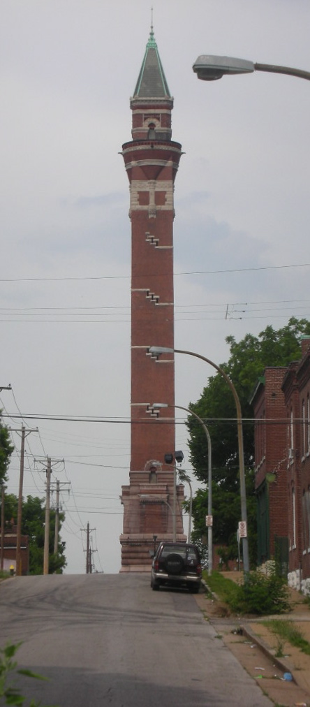
6.4 mi from Chain of Rocks Bridge
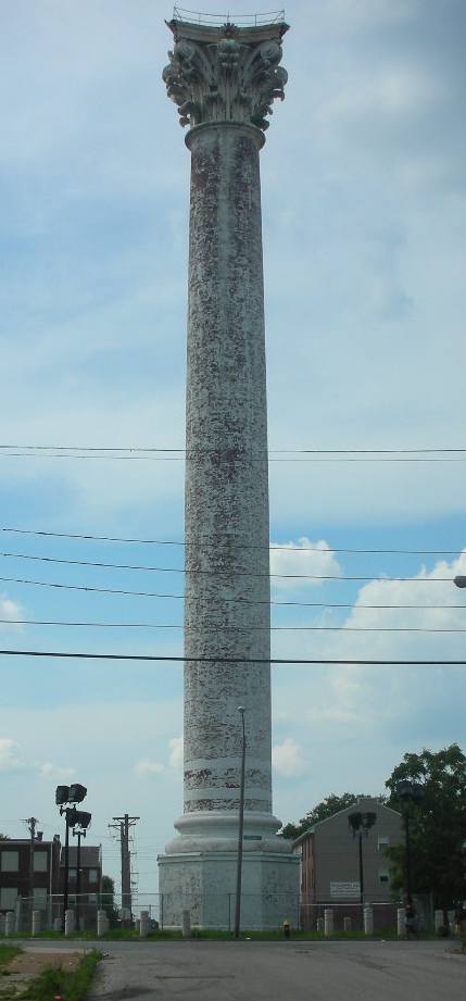
6.5 mi from Chain of Rocks Bridge

6.8 mi from Chain of Rocks Bridge
Questions about Chain of Rocks Bridge
Can you drive across the Chain of Rocks Bridge?
No. It is open only to people walking and cycling. Cars cross on the newer bridge to the north.
Why does the bridge bend?
A water intake was in the way, and parts of the riverbed rock could not hold the bridge's weight, so a 22-degree turn was built into the middle.
Was it part of Route 66?
Yes. For a time Route 66 used this bridge to cross the Mississippi between Illinois and Missouri.
Own or run Chain of Rocks Bridge? Send us a photo or a correction.