La Placita, California
- Ghost town
- In La Placita, California
- 6.0 mi from Route 66
La Placita is a former settlement on the Santa Ana River near San Bernardino, CA, about 6.3 miles off the old road. It is counted as the earliest community in Riverside County, founded informally soon after 1843. With Agua Mansa across the river, it was one of the first non-native towns in the San Bernardino Valley, and it adds an early pioneer chapter to a drive through the Inland Empire.
What is La Placita?
The town was first called La Placita de los Trujillos and was also known as San Salvador. Together with Agua Mansa, the pair went by the name San Salvador and formed the largest communities anywhere on the route from New Mexico to Los Angeles during the 1840s.
Visiting La Placita: tips
Treat this as a short history stop, since it is a former townsite rather than a built attraction. The Politana ghost town site is about 5 miles away, and Mount Jurupa about 5.4 miles.
Practical info
- On site & nearby
Sources: OpenStreetMap contributors (ODbL) · Wikidata · official site — may be outdated. Suggest a fix
Where to eat near La Placita
All diners on Route 66 →
On the map
Full mapLa Placita with the 6 closest stops and a place to eat (fork and knife). Tap a marker for details.
Tap a dot to see that stop here.
Stops near La Placita
All of California5.0 mi from La Placita
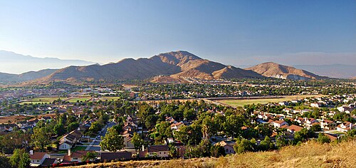
5.4 mi from La Placita

6.1 mi from La Placita

6.3 mi from La Placita

8.3 mi from La Placita
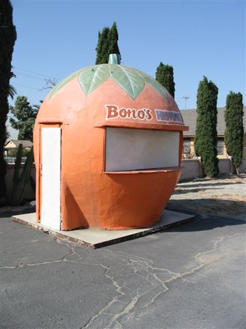
9.1 mi from La Placita
Own or run La Placita? Send us a photo or a correction.