Etiwanda Falls
- Nature & parks
- Near San Bernardino, California
- 5.5 mi from Route 66
Fed by a mountain creek, Etiwanda Falls sits in the North Etiwanda Preserve in Rancho Cucamonga, CA, about 4.6 miles off the old road. The source is East Etiwanda Creek, and the water drops about 50 feet in three steps. A hike of about 1.6 miles leads into the canyon to reach them, making this a good leg-stretcher for Route 66 travelers who want to hear running water after long miles of pavement.
What is Etiwanda Falls?
Two streams join above the falls and funnel their water into a single channel. The three drops measure roughly 15, 10 and 25 feet, together making the full height.
Visiting Etiwanda Falls: tips
Wear good shoes and bring water for the hike, and allow a couple of hours for the round trip. Cucamonga Peak is about 4.4 miles away, and the Sam and Alfreda Maloof Compound about 5.6 miles, for a mix of nature and history.
Where to eat near Etiwanda Falls
All diners on Route 66 →.jpg/250px-Magic_Lamp_Inn_(NBY_432829).jpg)

On the map
Full mapEtiwanda Falls with the 6 closest stops and places to eat (fork and knife). Tap a marker for details.
Tap a dot to see that stop here.
Stops near Etiwanda Falls
All of California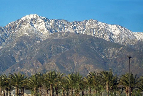
4.4 mi from Etiwanda Falls

5.6 mi from Etiwanda Falls
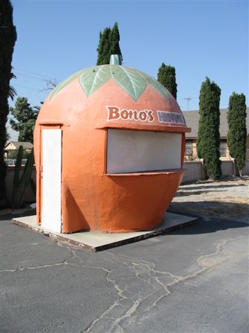
6.3 mi from Etiwanda Falls

6.8 mi from Etiwanda Falls

7.2 mi from Etiwanda Falls
7.2 mi from Etiwanda Falls
Own or run Etiwanda Falls? Send us a photo or a correction.