Cajon Canyon

Cajon Canyon is a long valley in the northeast corner of the San Gabriel range near San Bernardino, CA, less than a mile off the old road. The valley finishes in a box canyon, and its Spanish name reflects that shape: cajón means box. Its original Spanish name was much longer and also honored San Gabriel. For Route 66 travelers, it is part of the rugged mountain country of San Bernardino County, a short detour from the highway.

What is Cajon Canyon?

The canyon is a long, narrow valley in San Bernardino County that closes off at its upper end with steep walls on three sides, the shape known as a box canyon.

Visiting Cajon Canyon: tips

This is a stop for people who enjoy mountain scenery; bring water and allow time. Monument Peak is about 3.6 miles away, Devil Canyon about 3.8 miles, and Sawpit Canyon about 6 miles, so several natural sights sit close together.

Practical info

Address
California 92407
On site & nearby

Sources: OpenStreetMap contributors (ODbL) · Wikidata · official site — may be outdated. Suggest a fix

Where to eat near Cajon Canyon

All diners on Route 66 →
  • Mitla Cafe in San Bernardino, CA
    Diner & restaurant

    Mitla Cafe

    San Bernardino, CA · 8.6 mi from Cajon Canyon

    Family-run Mexican cafe on Mount Vernon Avenue, the old Route 66, open since 1937 and known for crisp tacos.

  • Diner & restaurant

    Sycamore Inn

    Rancho Cucamonga, CA · 14.6 mi from Cajon Canyon

    A steakhouse in a 1920 inn on Foothill Boulevard, on a site that fed travelers long before Route 66 existed.

  • Magic Lamp Inn in Rancho Cucamonga, CA
    Diner & restaurant

    Magic Lamp Inn

    Rancho Cucamonga, CA · 14.8 mi from Cajon Canyon

    A 1950s Route 66 steakhouse whose Aladdin's-lamp neon sign burns a real gas flame after dark.

On the map

Full map

Cajon Canyon with the 6 closest stops and places to eat (fork and knife). Tap a marker for details.

Tap a dot to see that stop here.

Stops near Cajon Canyon

All of California

Monument Peak

Crestline, California · 3.2 mi from Route 66

A 5,272-foot peak of the San Bernardino range, close to Sawpit and Devil canyons.

Nature & parks

3.6 mi from Cajon Canyon

Devil Canyon in San Bernardino, CA

Devil Canyon

San Bernardino, California · 1.6 mi from Route 66

A steep canyon on the southern slope of Paivia Peak, draining toward the Santa Ana River.

Nature & parksPhoto credit

3.8 mi from Cajon Canyon

Sawpit Canyon

Crestline, California · 5.6 mi from Route 66

A steep mountain canyon east of Monument Peak whose old creek mouth now lies under Silverwood Lake.

Nature & parks

6.0 mi from Cajon Canyon

Etiwanda Falls

San Bernardino, California · 5.5 mi from Route 66

A three-tier waterfall about 50 feet tall, reached by a short canyon hike in Rancho Cucamonga.

Nature & parks

7.2 mi from Cajon Canyon

Wigwam Motel in Rialto, CA

Wigwam Motel

Rialto, California · on Route 66

Nineteen tipi-shaped rooms on old Route 66: the last of the seven Wigwam Villages, and one of three left.

Retro roadsidePhoto credit

7.8 mi from Cajon Canyon

Bono's Restaurant and Deli in Fontana, CA

Bono's Restaurant and Deli

Fontana, California · on Route 66

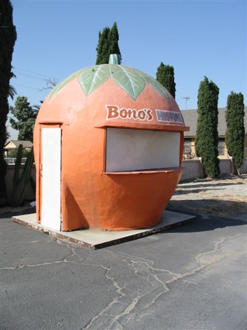
A 1940s Streamline Moderne roadside restaurant in Fontana, with a giant orange juice stand on the lot.

Retro roadsidePhoto credit

8.2 mi from Cajon Canyon

Own or run Cajon Canyon? Send us a photo or a correction.