Meramec State Park
- Nature & parks
- In Sullivan, Missouri
- 2.9 mi from Route 66
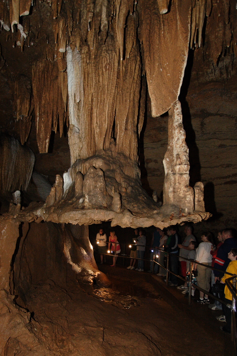
Meramec State Park lies along the Meramec River in Sullivan, MO, right by the old road and roughly 60 miles out from St. Louis. Opened in 1927, it spreads across hardwood forest and open, rocky glades above a bedrock of dolomite that holds more than 40 caves. For Route 66 travellers, it is a full outdoor stop with restrooms, parking and a campground, just a few miles from Meramec Caverns.
What is Meramec State Park?
The park mixes several kinds of landscape, from shaded hardwood forest to glades where thin soil lets rock show through. Beneath it all lies dolomite, and the park counts over 40 caves. The best known is Fisher Cave, which sits near the campgrounds. On one side the park meets the Meramec Conservation Area, extending the protected land even further.
Visiting Meramec State Park: tips
Give it at least a couple of hours, more if you plan to camp. Restrooms and parking are on site, there is wheelchair access, and the park is a good fit for children. A motel is about 0.4 miles away if you would rather sleep indoors. Meramec Caverns is about 2.5 miles away, and the Maj. Gen. William S. Harney Summer Home, a stone house museum, is about 3.3 miles off. The ghost town site of Pea Ridge is about 6.5 miles away.
Practical info
- Address
- 115 Meramec Pk Rd, Sullivan, MO 63080
- Phone
- +1 573-468-6072
- Hours
- We have no opening hours for this stop yet — check the official site.
- On site & nearby
Sources: OpenStreetMap contributors (ODbL) · Wikidata · official site — may be outdated. Suggest a fix
On the map
Full mapMeramec State Park with the 6 closest stops. Tap a marker for details.
Tap a dot to see that stop here.
Stops near Meramec State Park
All of Missouri
2.5 mi from Meramec State Park

3.3 mi from Meramec State Park
6.5 mi from Meramec State Park
7.4 mi from Meramec State Park
7.8 mi from Meramec State Park
8.7 mi from Meramec State Park
Own or run Meramec State Park? Send us a photo or a correction.